Distance 15 miles
Climbing 3,255 ft
Weather Fine & sunny
Difficulty Moderate.
please click on image to expand
Climbing 3,255 ft
Weather Fine & sunny
Difficulty Moderate.
please click on image to expand
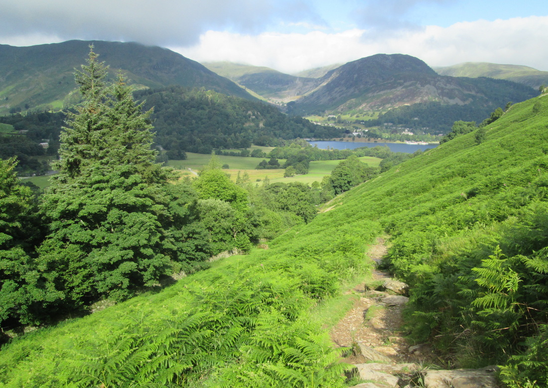
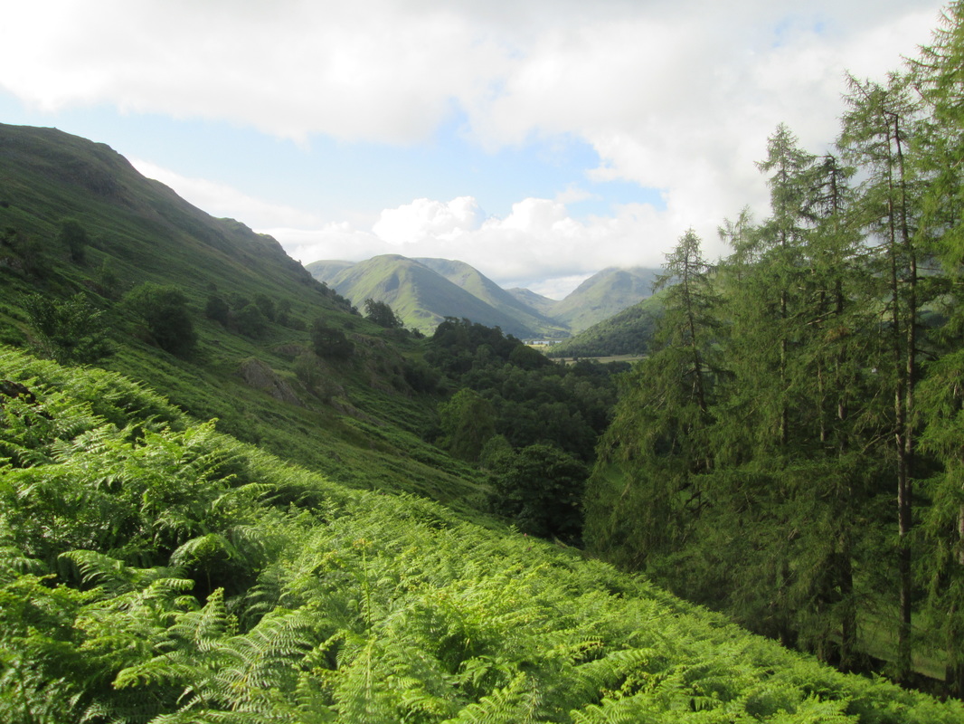
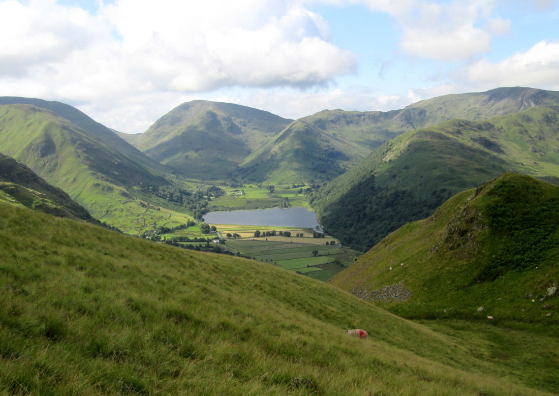
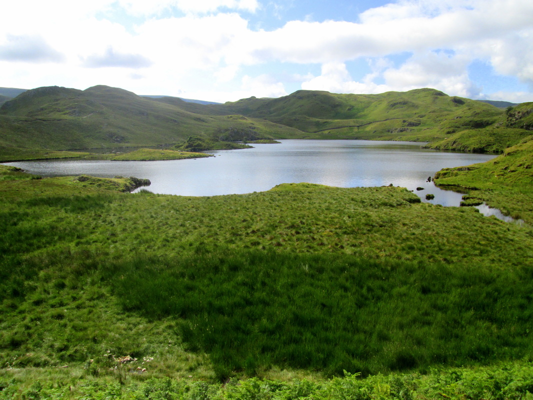
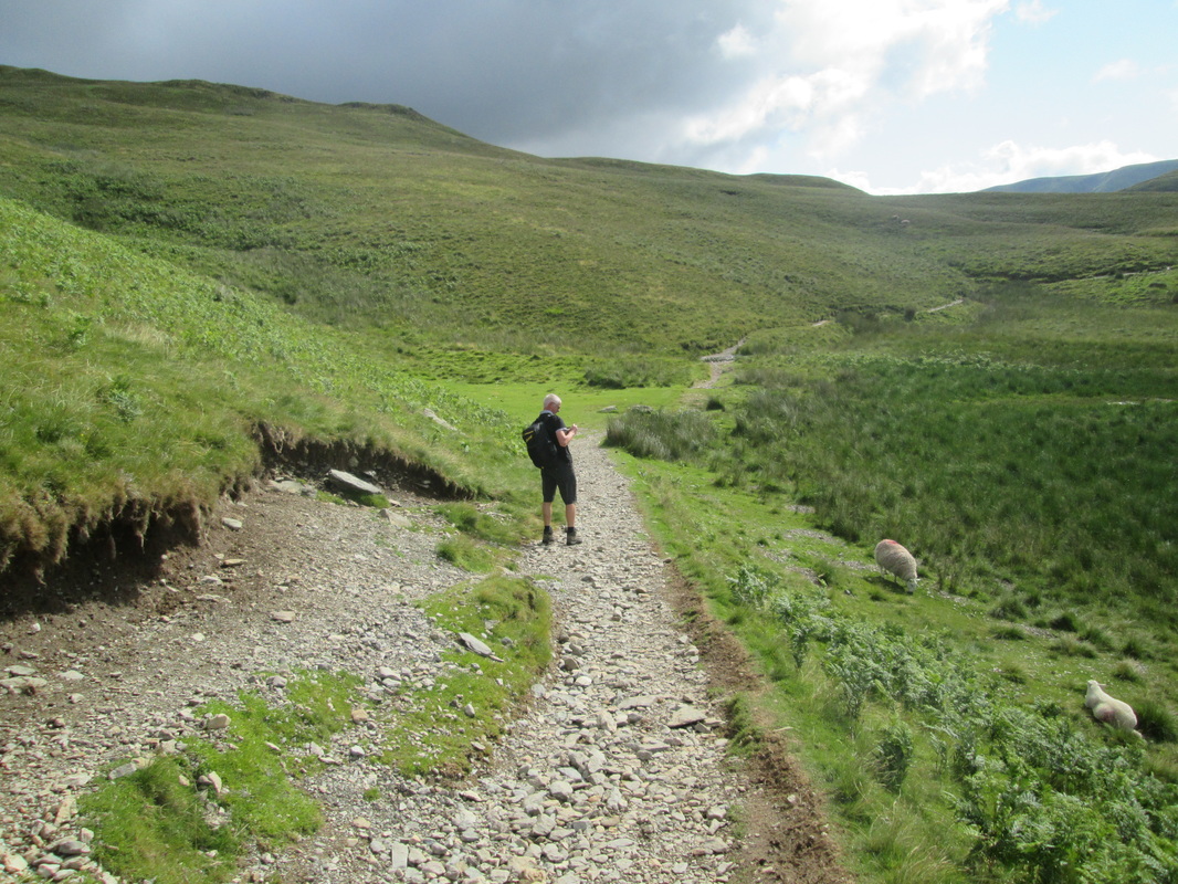
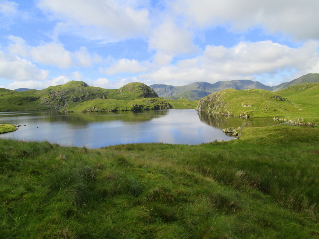
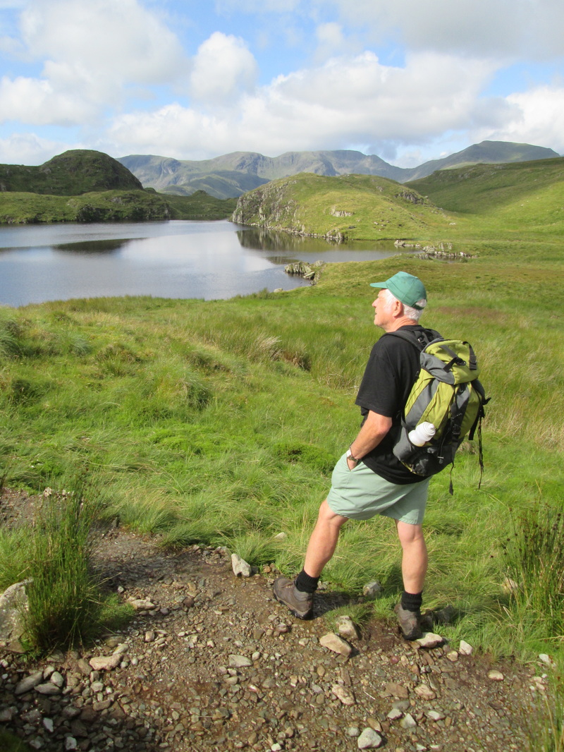
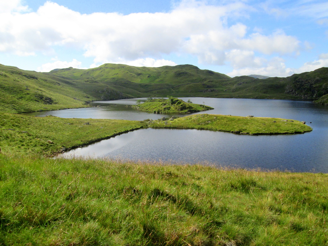
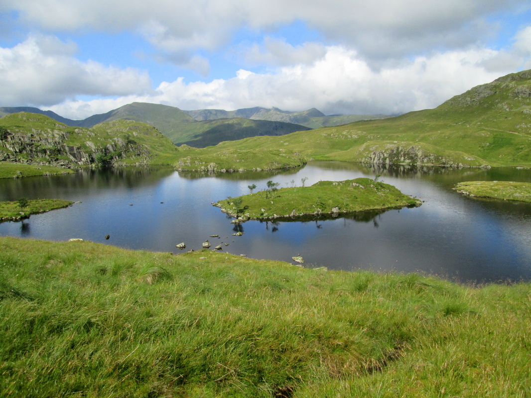
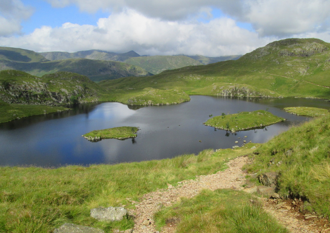
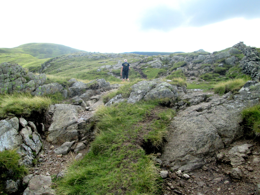
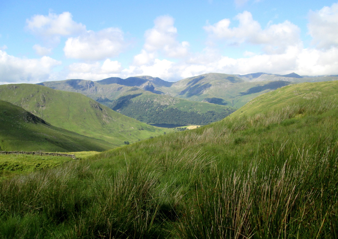
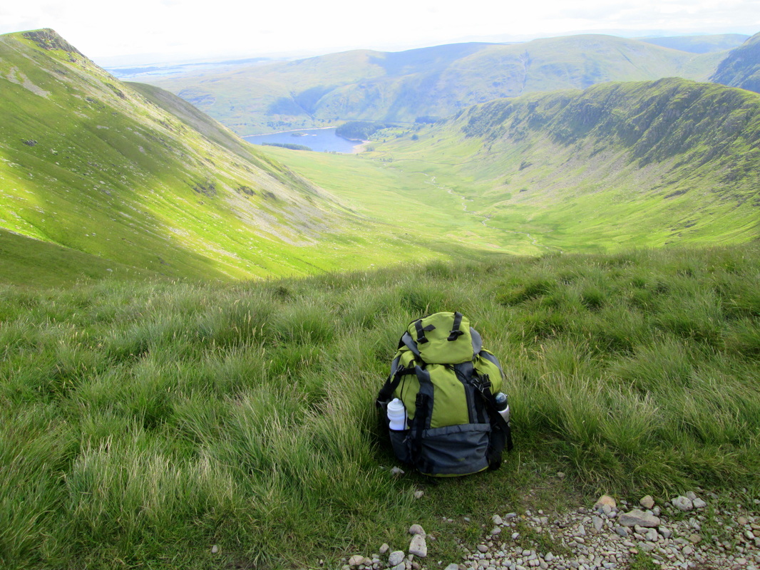
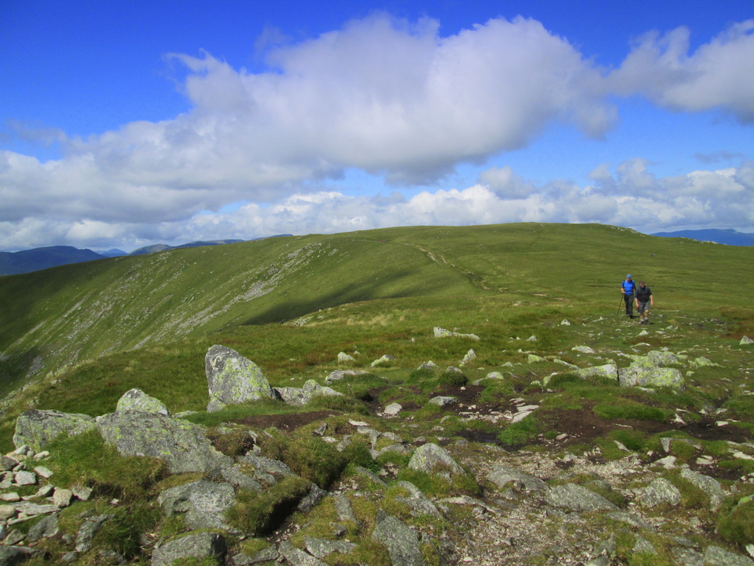
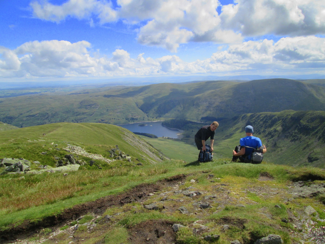
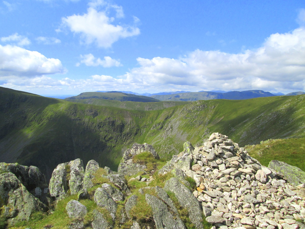
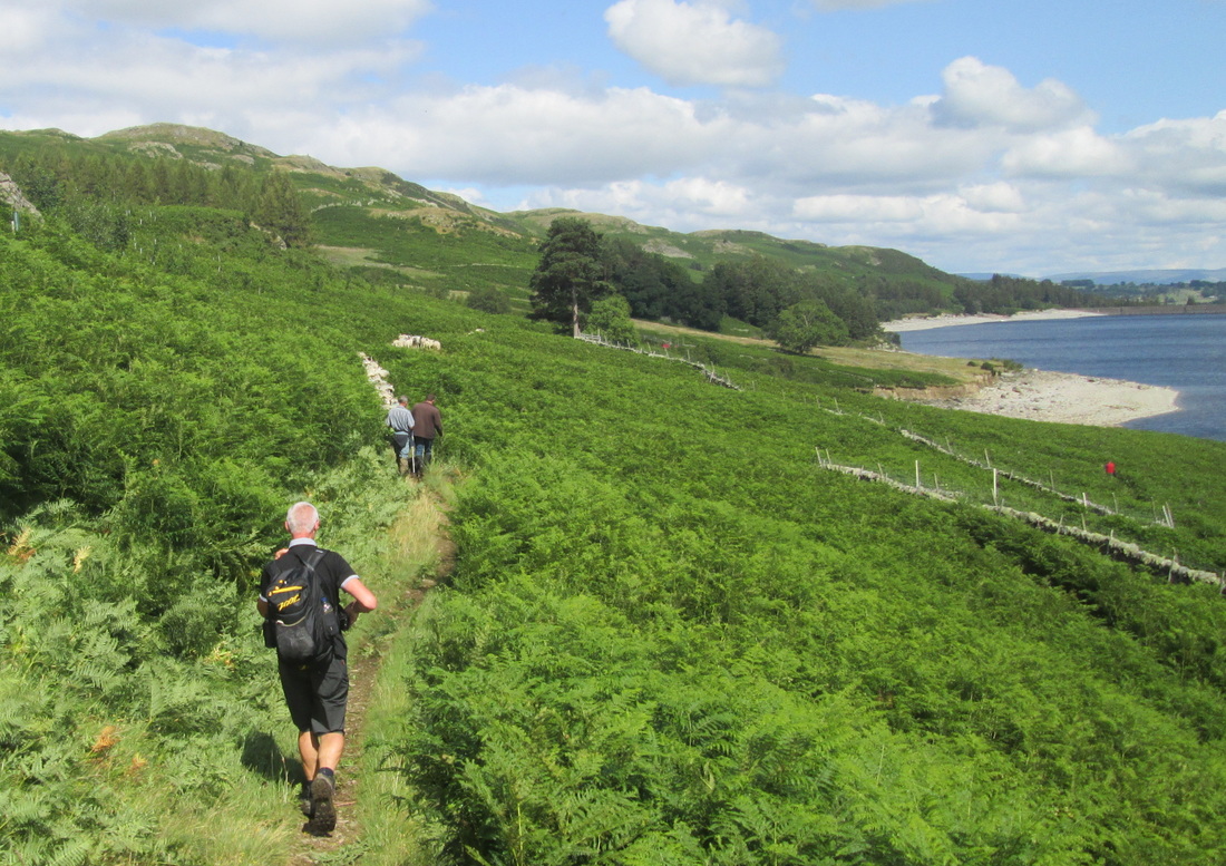
John left us at Patterdale at around 08.45, leaving us to face the 1100 ft ascent to Angle Tarn Pikes, I was feeling a little stiff after the previous 3 days and in truth, I have to admit that I was not looking forward to it; however, it was not nearly so bad as I had feared. We just took our time and plodded on stopping from time to time pretending to admire the view. Very soon the stiffness had left us and we no longer had to pretend and we were back in our stride as we passed Boredale Hause and on to Angle Tarn. I had only ever seen the Tarn in photos and was under the impression that it was bigger than it actually is, but I wasn't disappointed at all, it is a beautiful place and during the time that we were there, it was very peaceful too. We stopped to take some photos before moving on until we reached a spot overlooking Hayeswater where we stopped for a break and to simply to enjoy the peace and quiet for a few minutes before we continued on our way. After our break we carried on around the Knott and on to the Straits of Riggindale where we almost missed the path to Kidsty Pike but fortunately we had only gone a few yards before we realised our mistake and shortly afterwards we were standing on the Pike which at 2560 ft is the highest point of the walk. The weather could not have been kinder to us, the sun was shining with only a light breeze and visibility was fantastic. To me, this was a significant milestone in the walk because we would now be leaving the lake district behind and making for the high ground of the Pennines.
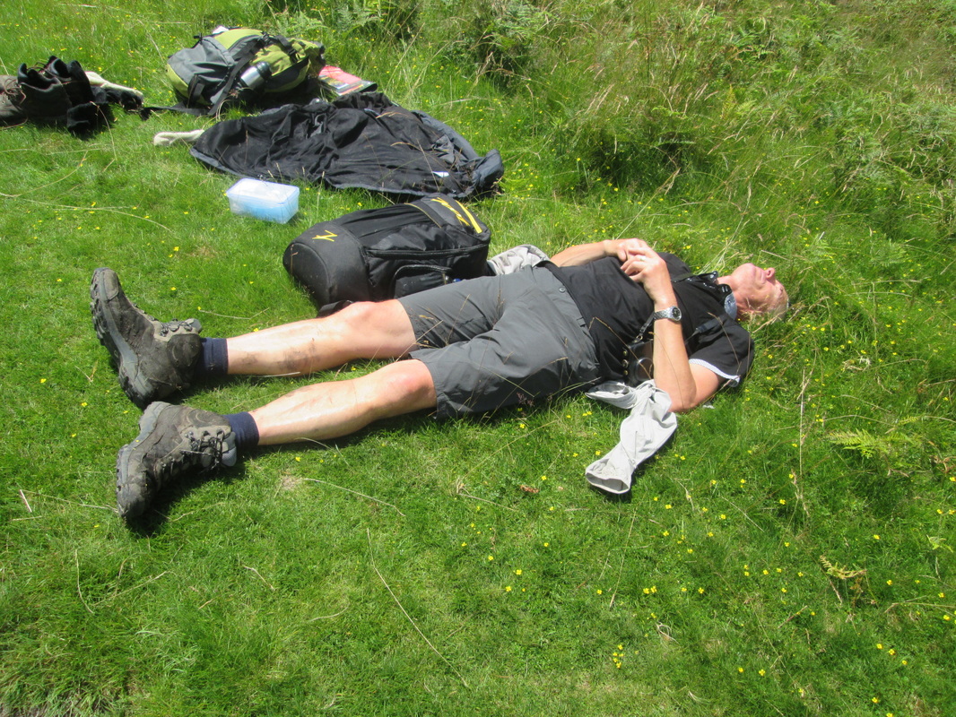
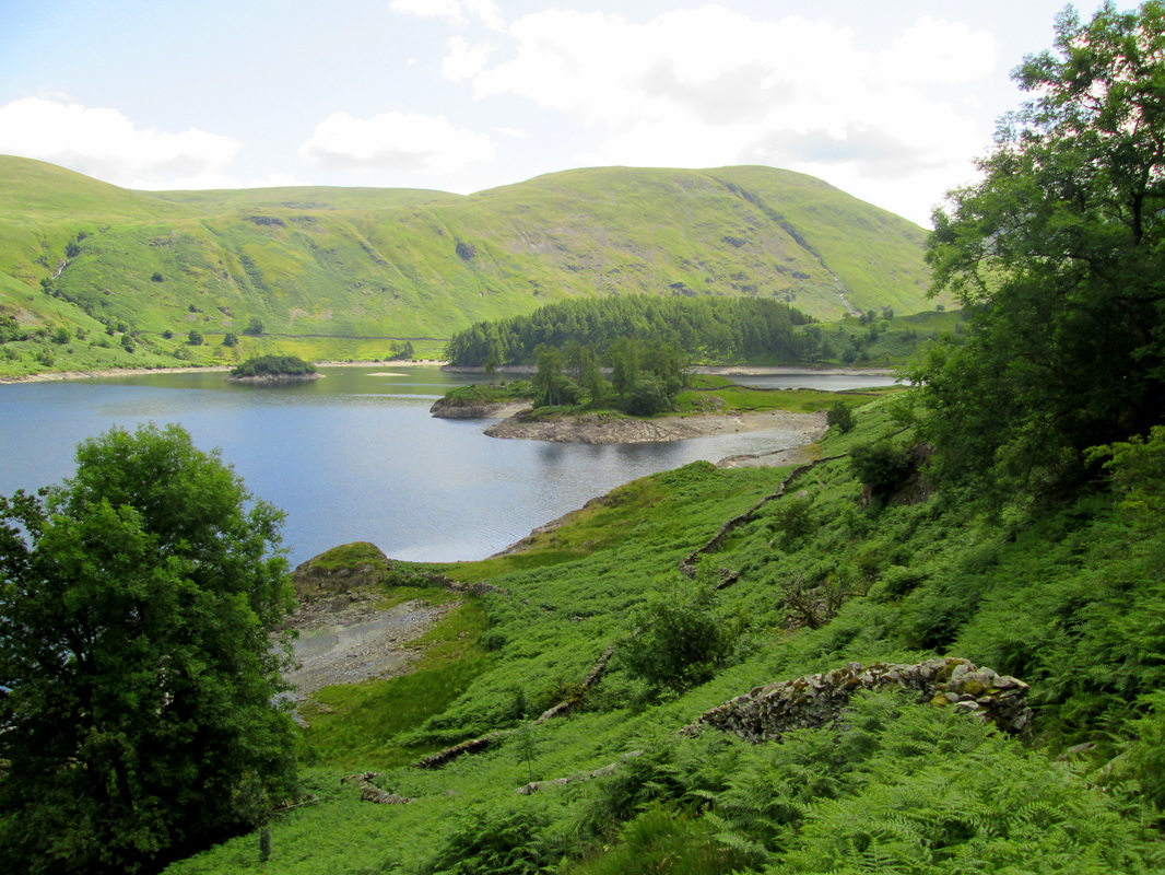
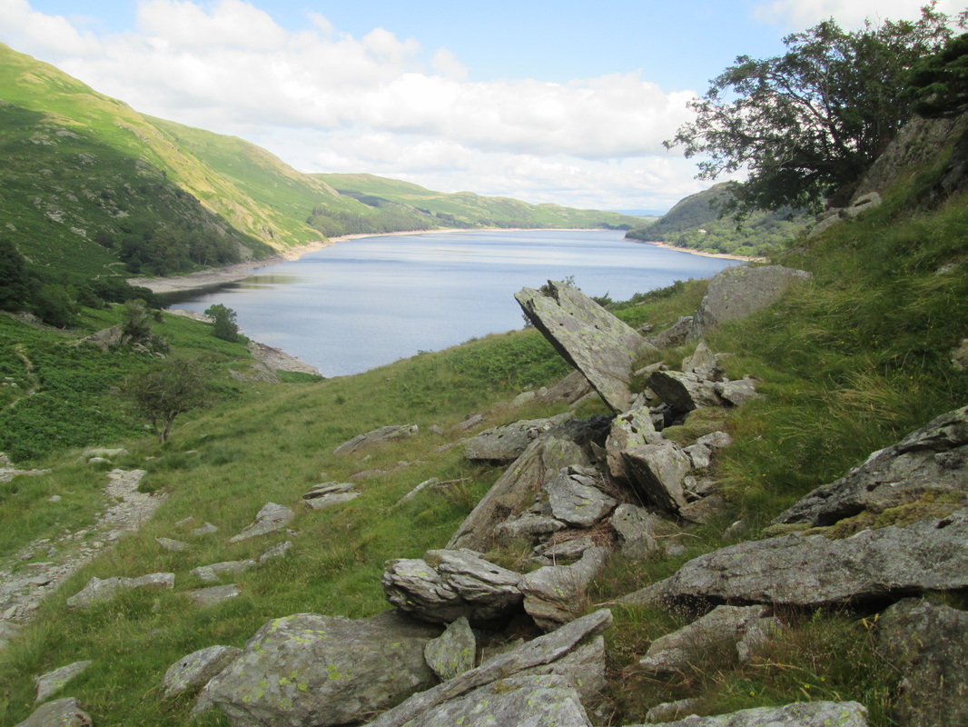
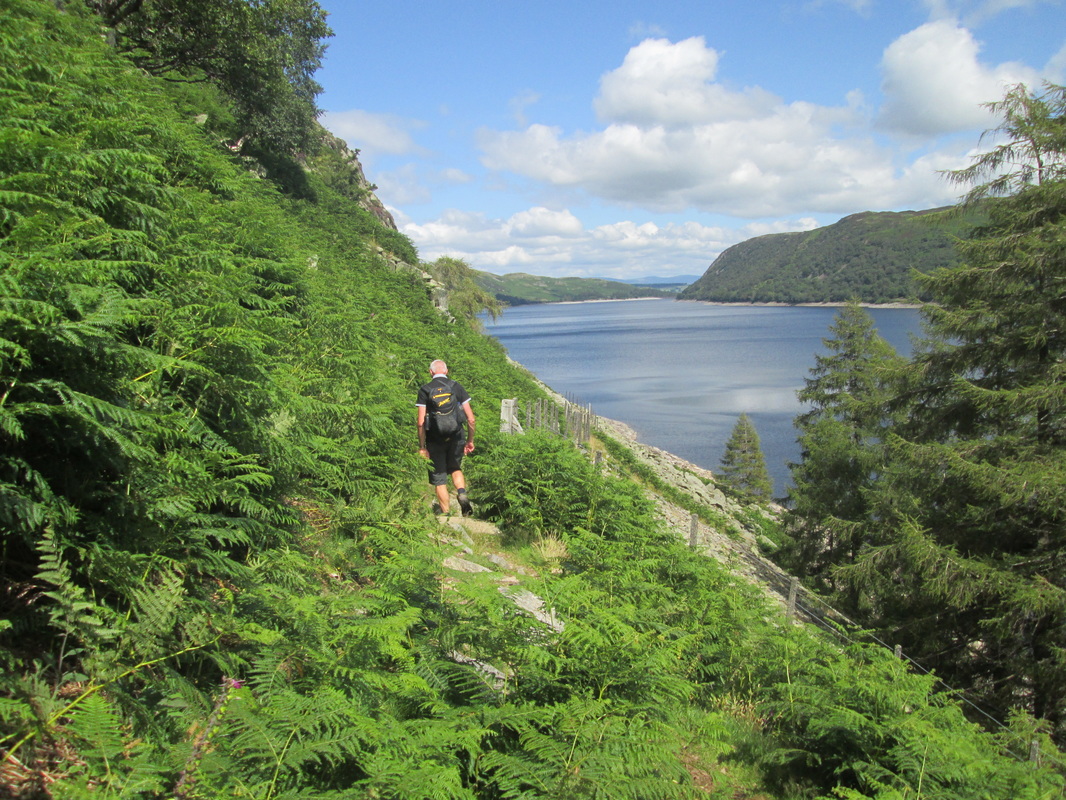
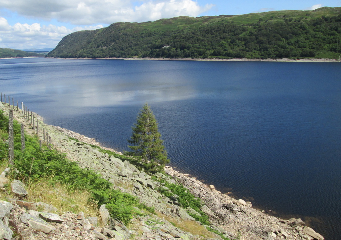
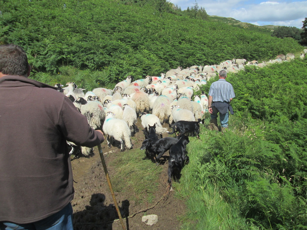
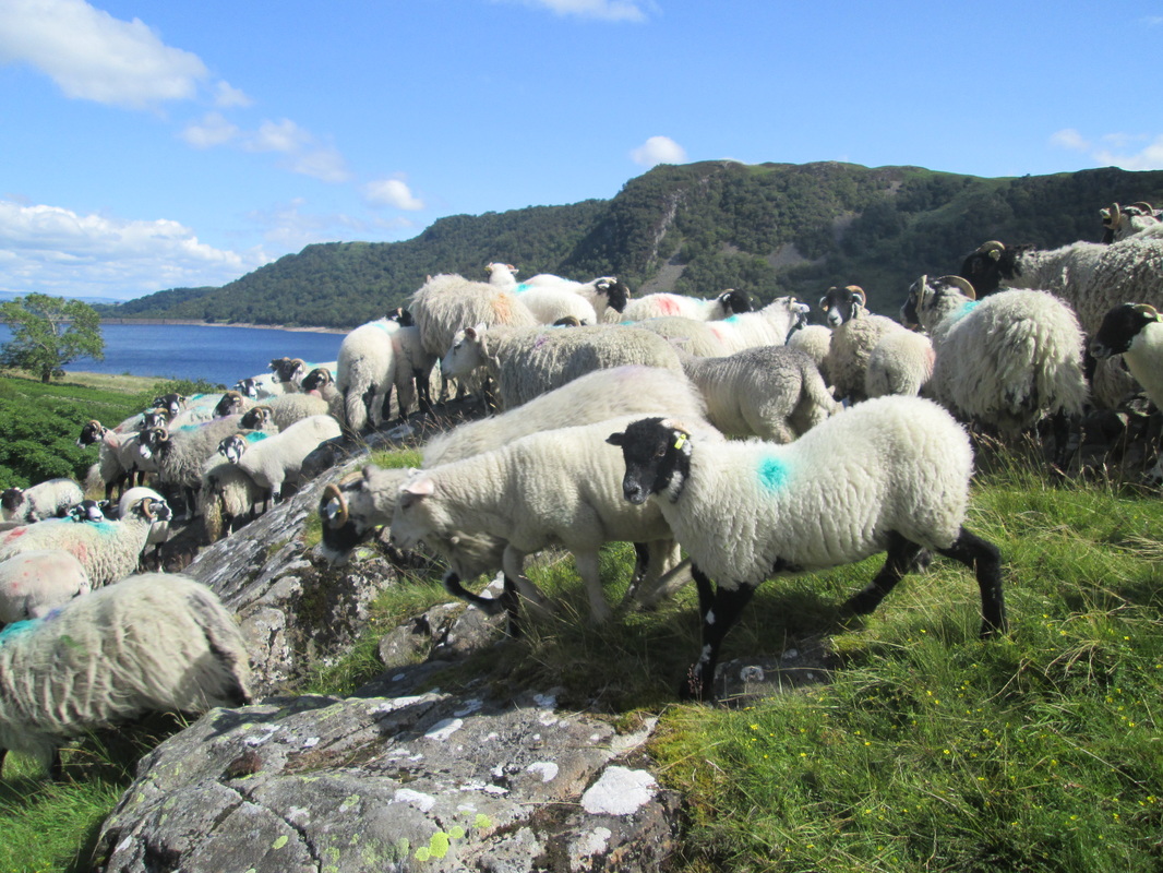
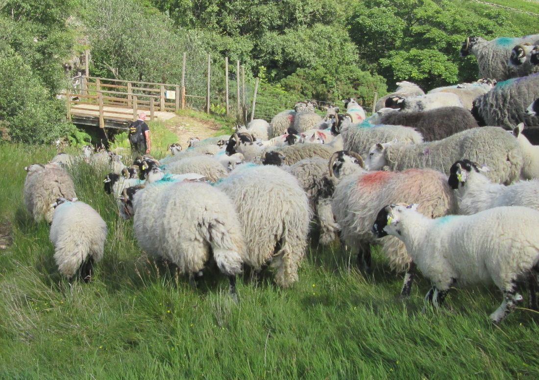
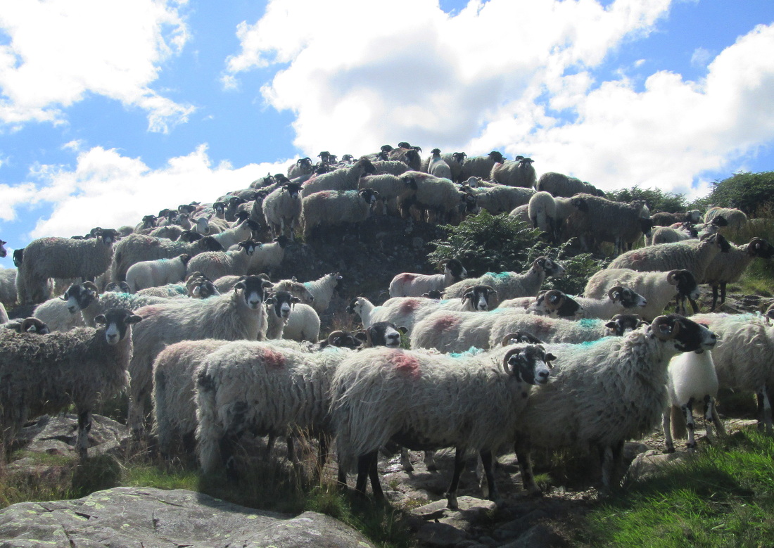
The descent to Haweswater was hard work for our poor old knees but we managed it without too much trouble and once down we found a spot overlooking the lake where we could sit in the sun and enjoy our lunch before following the path along to the village of Burbanks. I think I was expecting a pleasant stroll along the banks of the reservoir but actually I found it to be quite challenging in places with some short steep climbs and a loose stony surface to the path which was not very kind to my now battered feet. At one point we were held up by a couple of farmers with several dogs as they moved a large flock of sheep
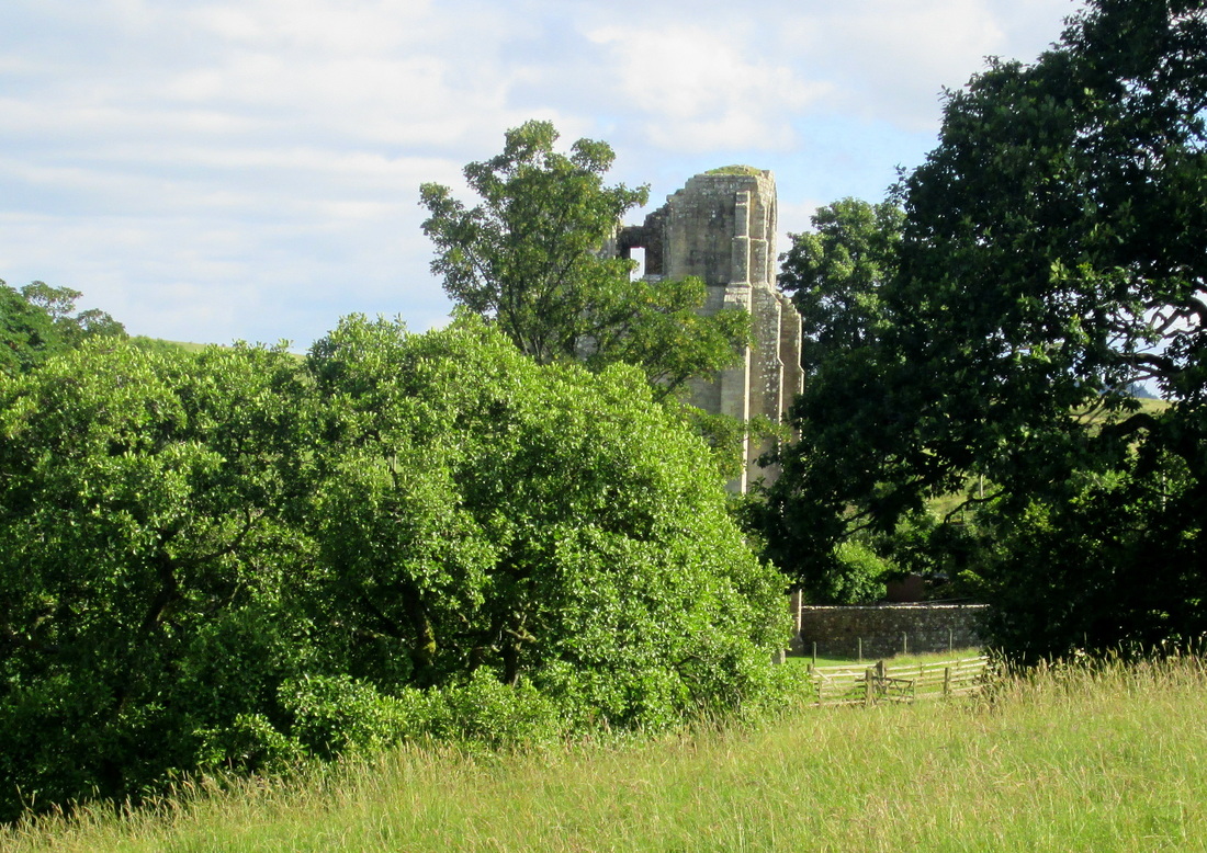
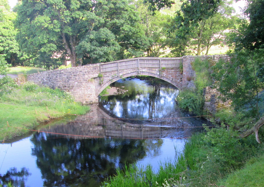
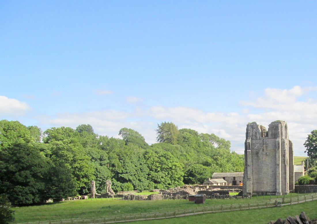
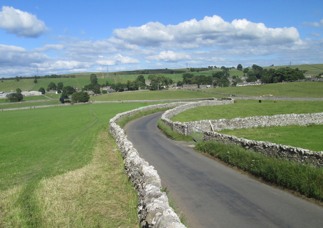
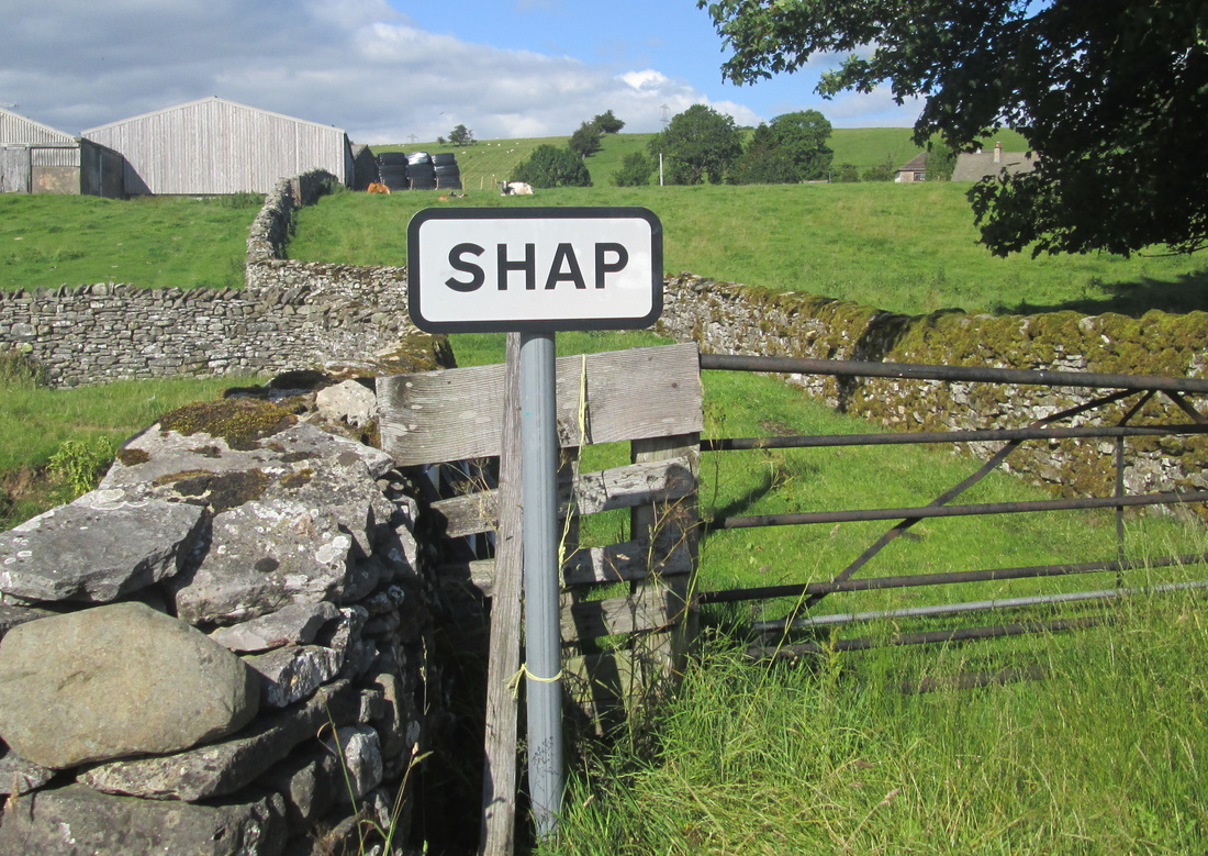
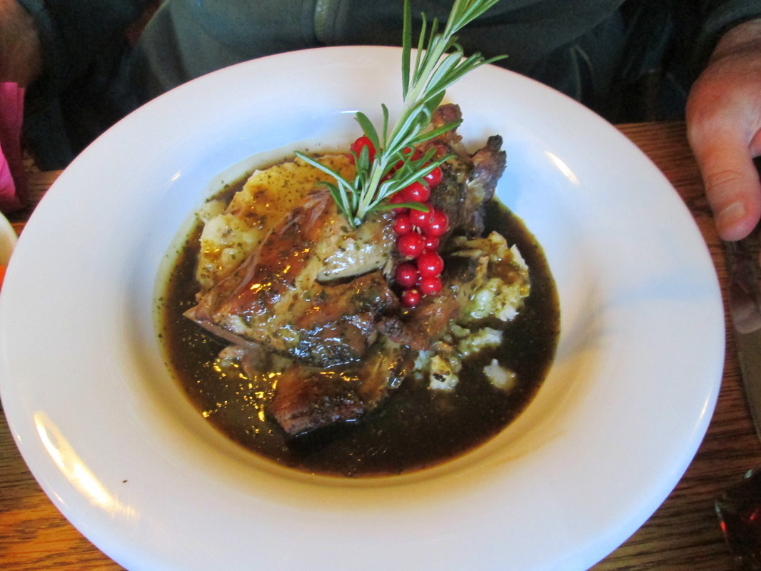
Once we left Burbanks behind us the countryside changed dramatically, Gone were the mountains and deep valleys of the previous few days, and we were now walking through rolling countryside in fields full of cattle and sheep. This continued until we reached Shap Abbey where we joined a lane which led to the village of Shap which is strung out along the old A6 road. We had to walk almost to the far end of the village to where John was waiting to take us back to the campsite for what was our last night at Troutbridge. In the evening we once again went to the White Horse where we all had a delicious shoulder of lamb for supper.
