Distance 20.5 miles
Climbing 380 ft
Difficulty Easy
Weather Warm and mainly sunny but some cloud at times.
Please click on images to expand.
Climbing 380 ft
Difficulty Easy
Weather Warm and mainly sunny but some cloud at times.
Please click on images to expand.
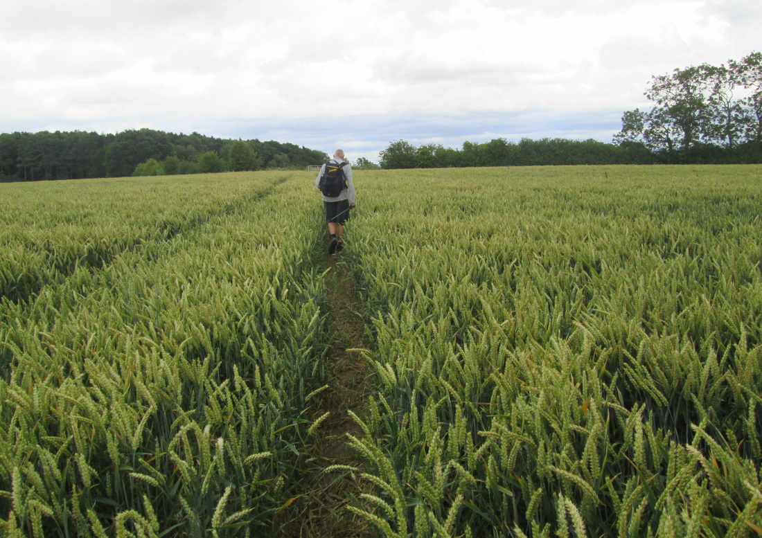
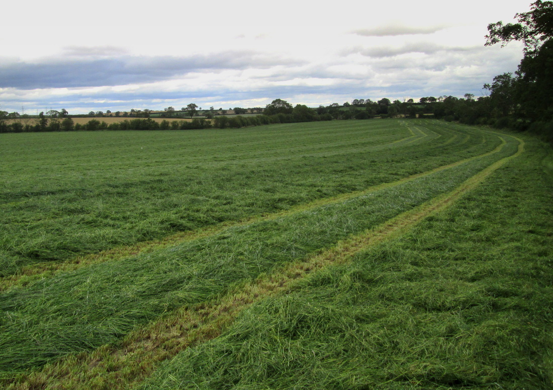
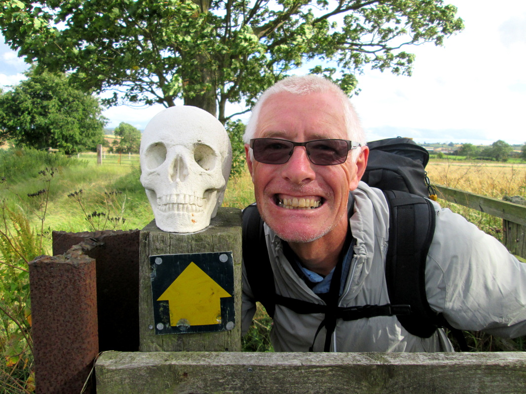
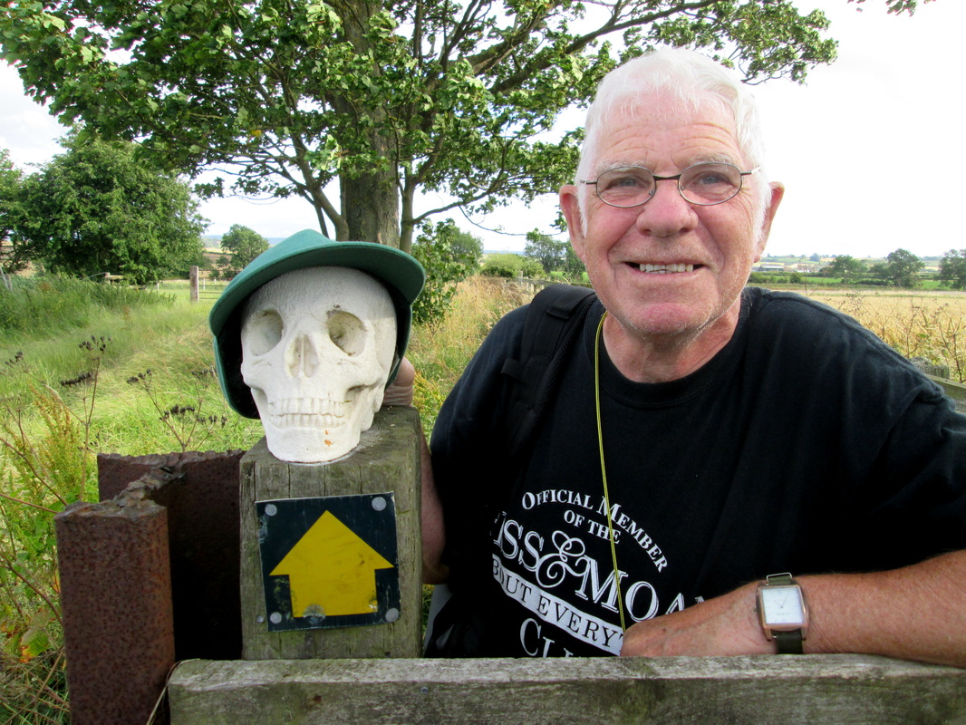
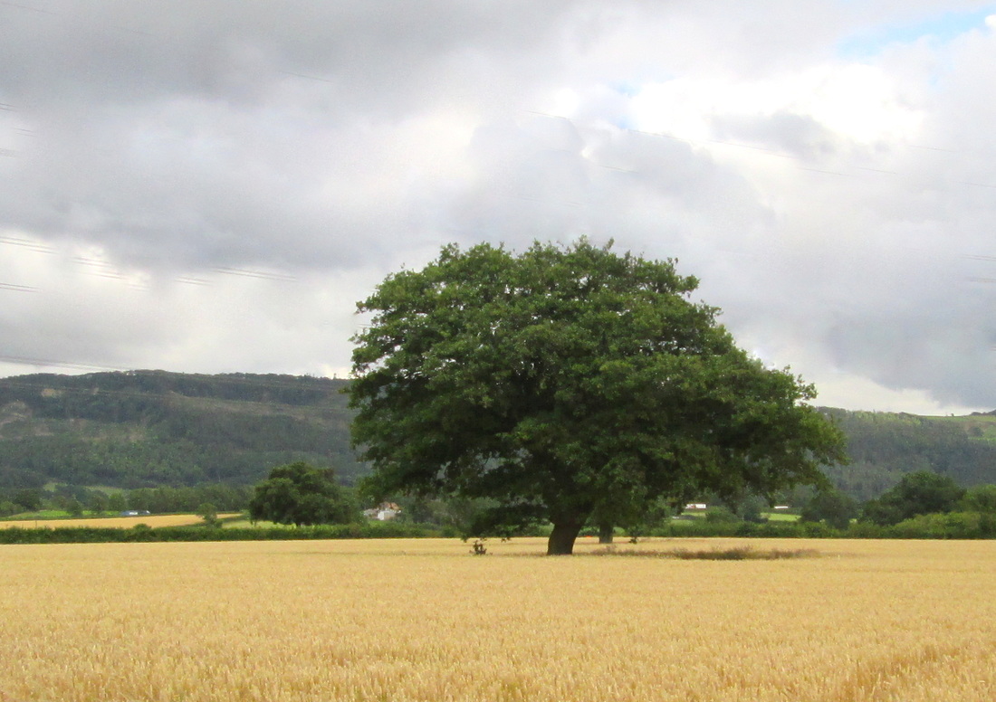
According to some reports that I have read, this section of the Coast to Coast Walk is flat and boring and so boring in fact, that some people miss it out all together. I can’t dispute that it is flat but I certainly did not find it boring. Admittedly there are no challenging climbs or peaks to bag and panoramic vistas or non existent, but I found the day to be very relaxing and the scenery although different to the rest of the walk was not unattractive in its own way. We were fortunate that the weather was kind to us though because I can imagine that on a wet day it could be very heavy going.
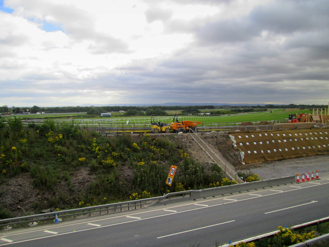
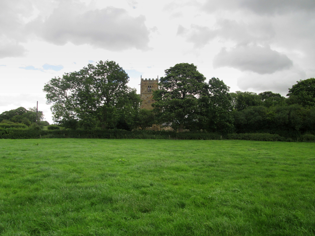
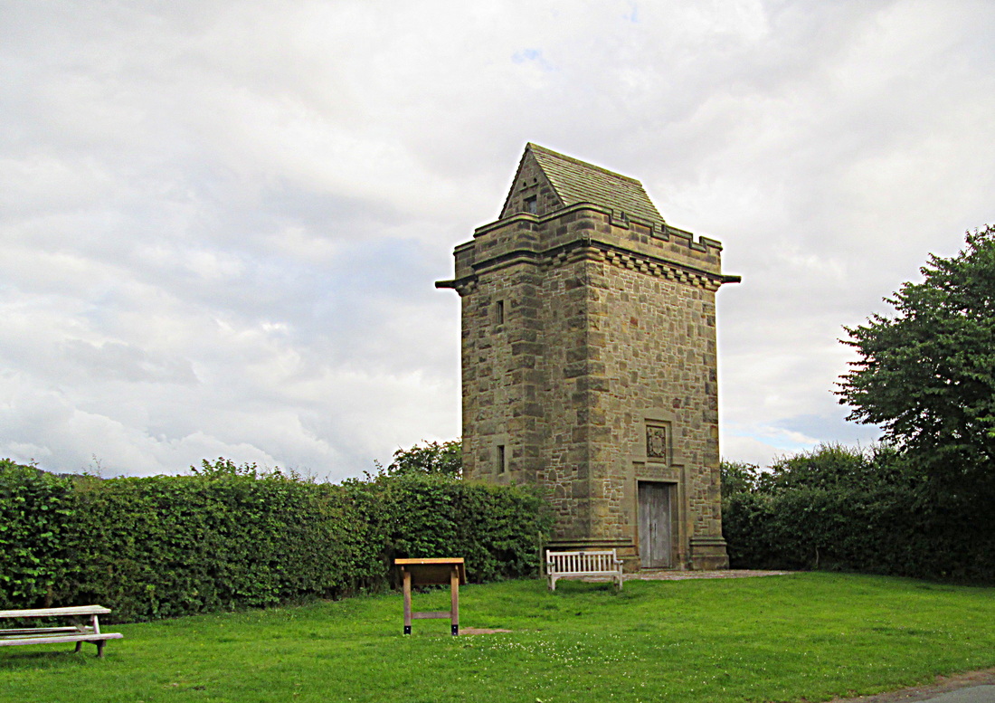
We left Colburn at around 09-45 and took the path as far as St Giles Farm where we found a temporary closure was in place and we were diverted along the farm lane to the A1636 where we turned left for Catterick Bridge which was about a mile away. There was quite a bit of activity due to road works in the vicinity, but after crossing over the carriageway we soon left it all behind us passing the racecourse and then skirting a gravel pit on our way to Bolton-on –Swale. Passing All Saints Church I remembered that this was where Henry Jenkins is buried. Henry died in 1670 reputedly at the age of 169, a large monument was erected to his memory in the churchyard and is clearly visible from the road.
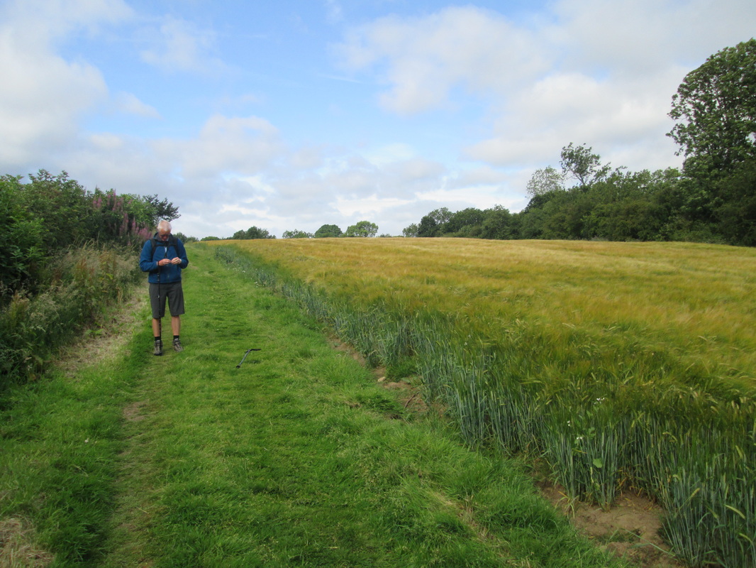
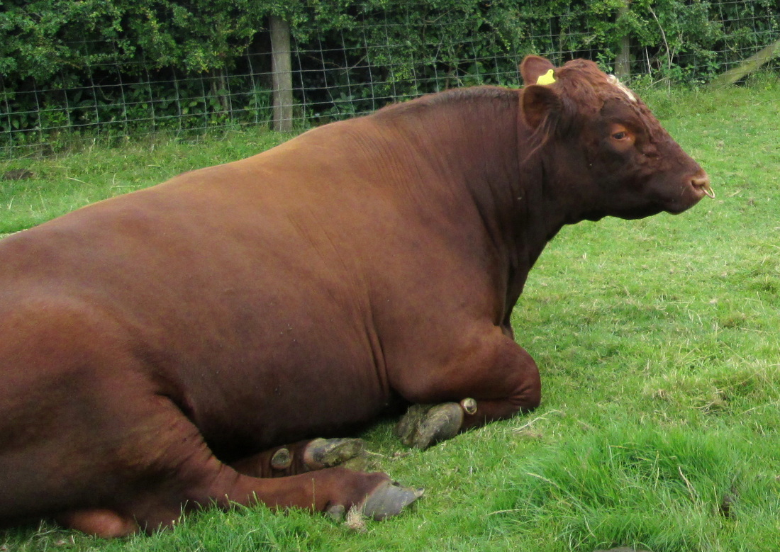
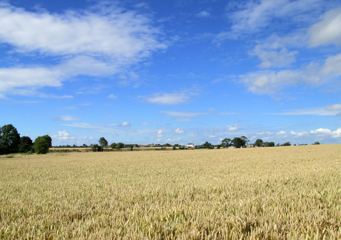
As we left Bolton on Swale behind we could see the Cleveland hills in the distance and we knew that we were well on our way across the Vale of Mowbray. The fields we were passing through contained mainly barley, wheat, sheep and cattle and in one case a very large bull was lazing right on the footpath. He had no inclination to move and we had no inclination to move him so we took a quick photo and carried on our way.
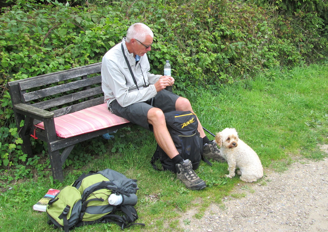
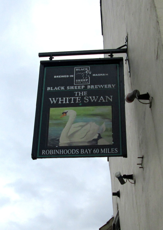
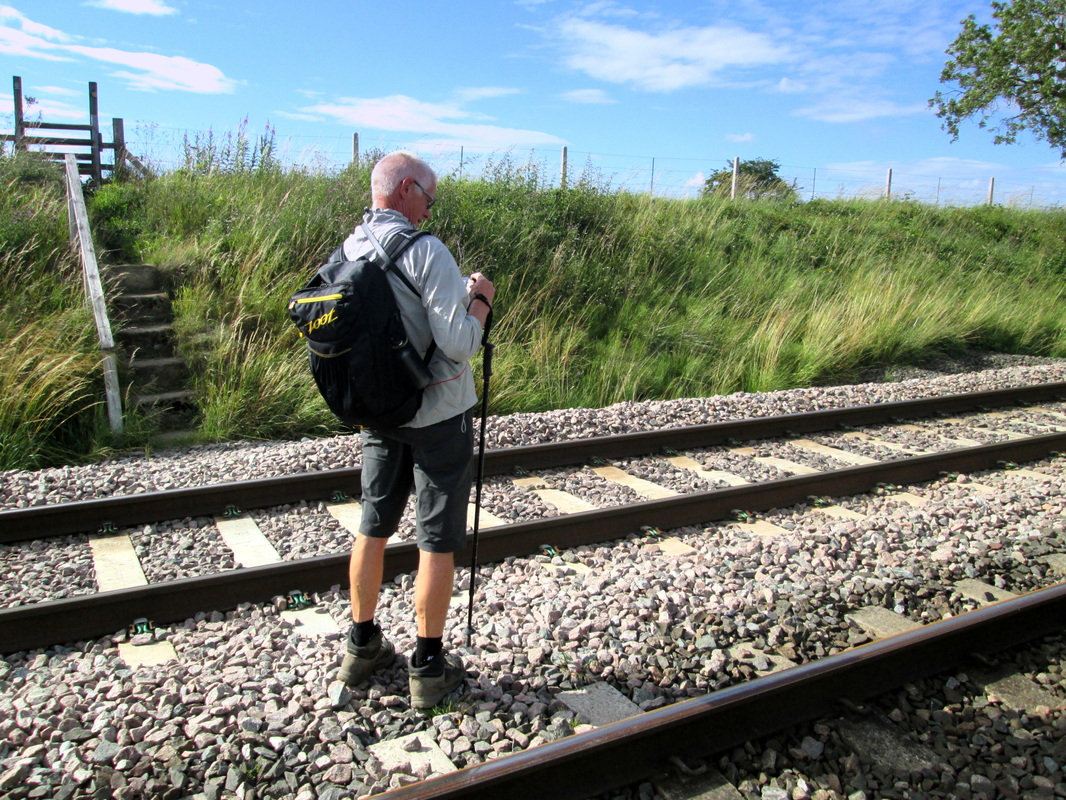
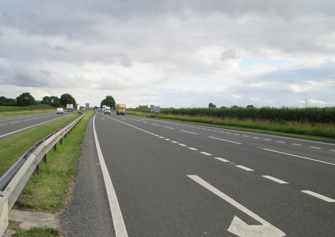
On arriving at Danby Wisk we were ready for a break so we went into the White Swan just as a Sherpa van was leaving. Judging by the amount of luggage left, there must have been a fairly large party following us but we had not seen anybody at all. After our break we left, following the road over a railway bridge before turning off onto field paths once more, passing a number of farms and crossing another railway and then on to what I think was the most difficult obstacle on the whole walk. The A19. This road is a dual carriageway and is almost motorway standard. On this particular stretch, there is no footbridge or safe crossing point for some distance in either direction. As we drew near it was as if we were approaching a railway with two endless trains travelling at high speed in opposite directions. It was definitely an intimidating prospect but as we reached the roadside it was almost as if a miracle happened, the traffic simply vanished and we were able to stroll across both carriageways, even stopping for a moment to take a photograph.
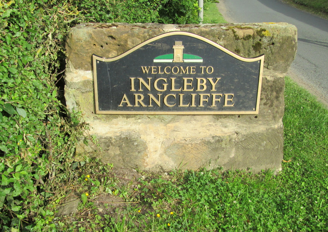
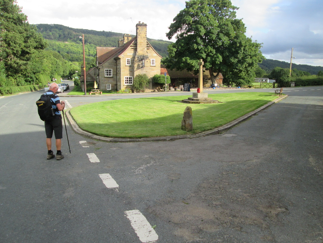
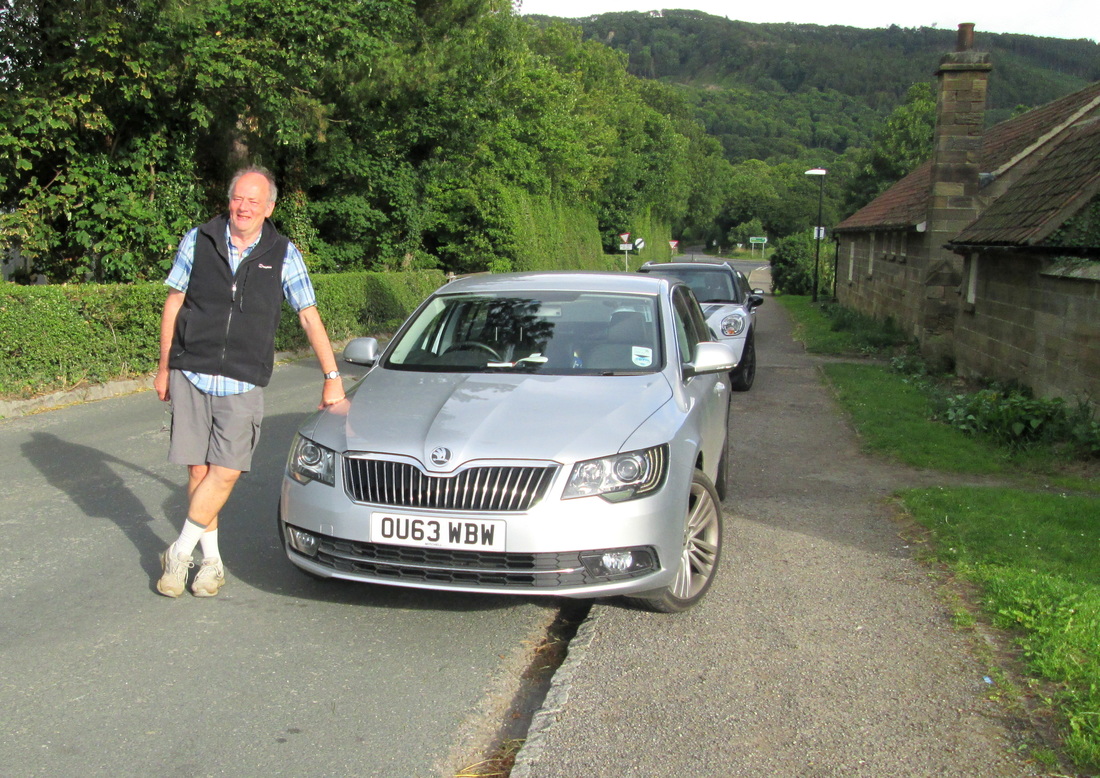
We were now almost at the end of our days walk with the twin villages of Ingleby Arncliffe and Ingleby Cross only a few hundred yards away. John was waiting for us outside the Bluebell Inn to take us to our latest campsite at Cote Ghyll near Osmotherly where we were to spend the next two nights.
We left Colburn at around 09-45 and took the path as far as St Giles Farm where we found a temporary closure was in place and we were diverted along the farm lane to the A1636 where we turned left for Catterick Bridge which was about a mile away. There was quite a bit of activity due to road works in the vicinity, but after crossing over the carriageway we soon left it all behind us passing the racecourse and then skirting a gravel pit on our way to Bolton-on –Swale. Passing All Saints Church I remembered that this was where Henry Jenkins is buried. Henry died in 1670 reputedly at the age of 169, a large monument was erected to his memory in the churchyard and is clearly visible from the road.
As we left Bolton on Swale behind we could see the Cleveland hills in the distance and we knew that we were well on our way across the Vale of Mowbray. The fields we were passing through contained mainly barley, wheat, sheep and cattle and in one case a very large bull was lazing right on the footpath. He had no inclination to move and we had no inclination to move him so we took a quick photo and carried on our way.
On arriving at Danby Wisk we were ready for a break so we went into the White Swan just as a Sherpa van was leaving. Judging by the amount of luggage left, there must have been a fairly large party following us but we had not seen anybody at all. After our break we left, following the road over a railway bridge before turning off onto field paths once more, passing a number of farms and crossing another railway and then on to what I think was the most difficult obstacle on the whole walk. The A19. This road is a dual carriageway and is almost motorway standard. On this particular stretch, there is no footbridge or safe crossing point for some distance in either direction. As we drew near it was as if we were approaching a railway with two endless trains travelling at high speed in opposite directions. It was definitely an intimidating prospect but as we reached the roadside it was almost as if a miracle happened, the traffic simply vanished and we were able to stroll across both carriageways, even stopping for a moment to take a photograph.
We were now almost at the end of our days walk with the twin villages of Ingleby Arncliffe and Ingleby Cross only a few hundred yards away. John was waiting for us outside the Bluebell Inn to take us to our latest campsite at Cote Ghyll near Osmotherly where we were to spend the next two nights.
