Distance 14.2 miles
Climbing 1408 ft
Weather Fine and sunny
Difficulty Easy
Click on images to expand
Climbing 1408 ft
Weather Fine and sunny
Difficulty Easy
Click on images to expand
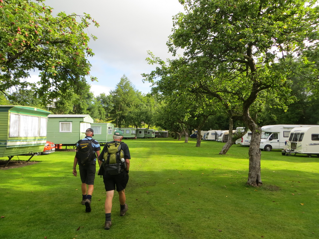
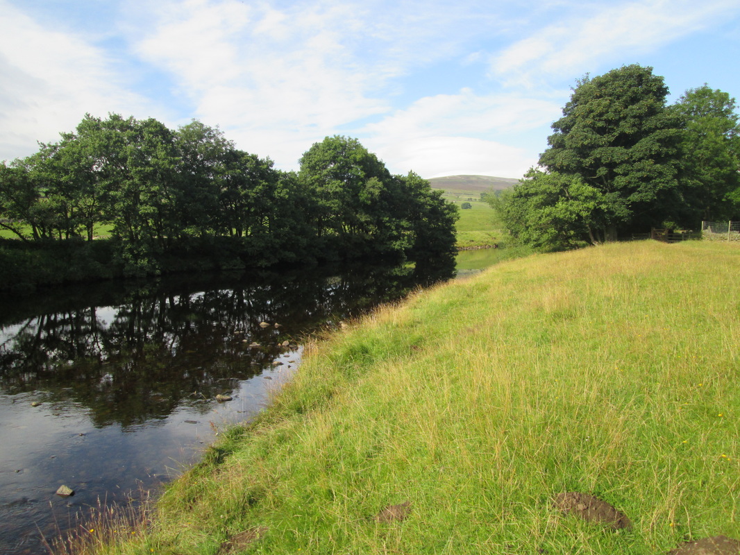
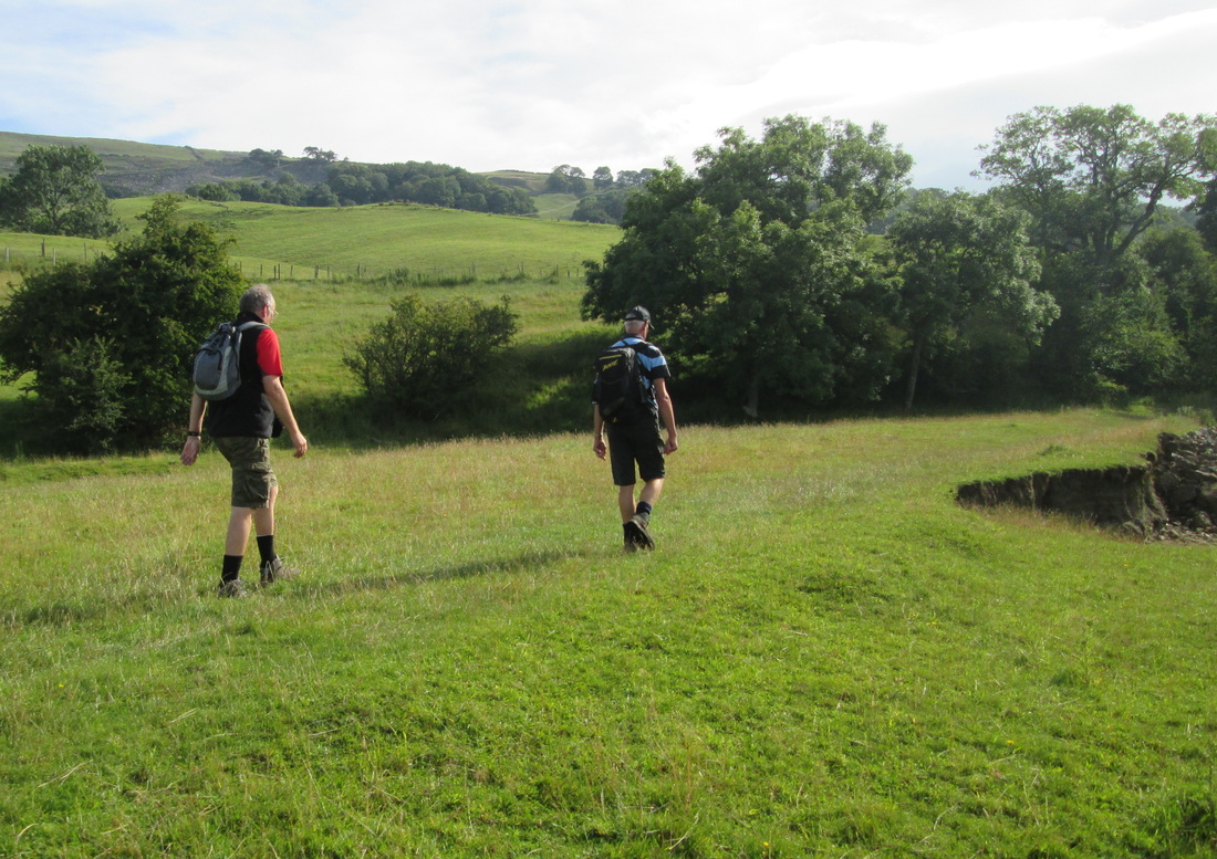
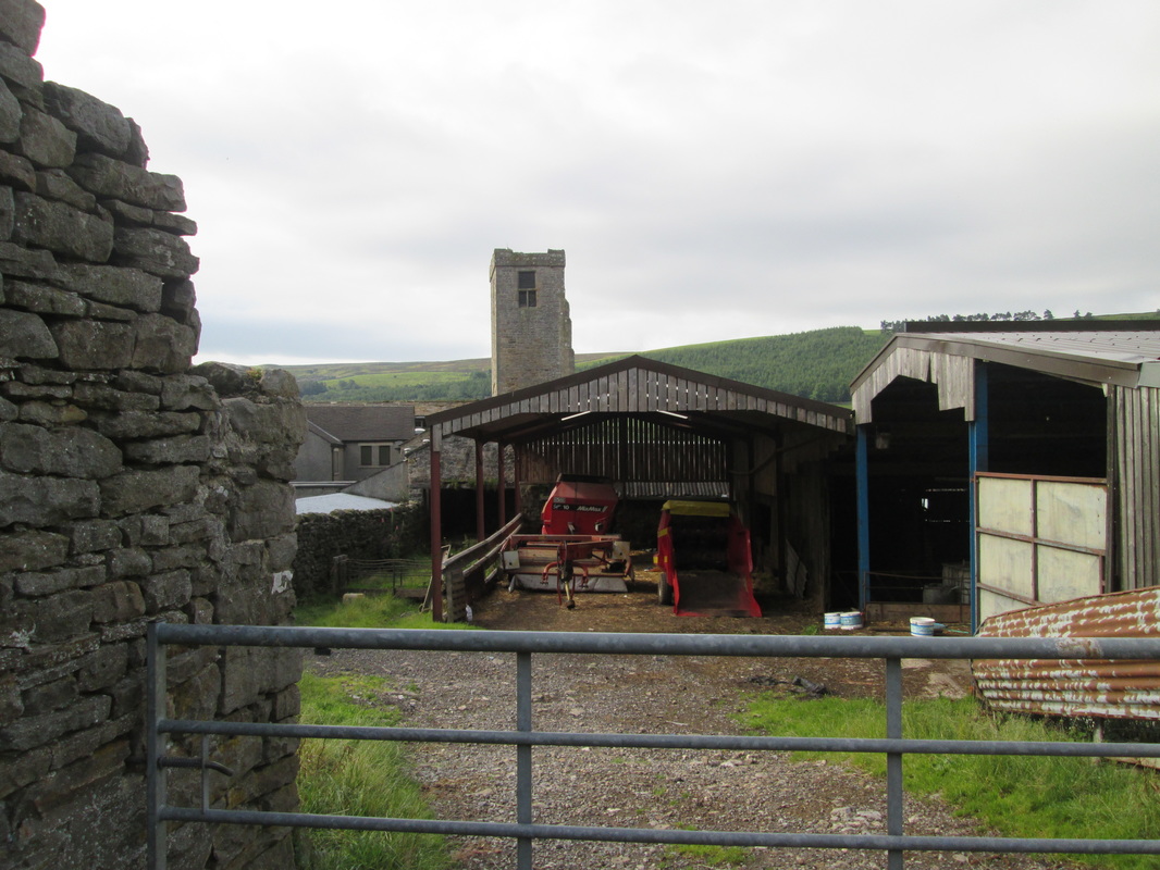
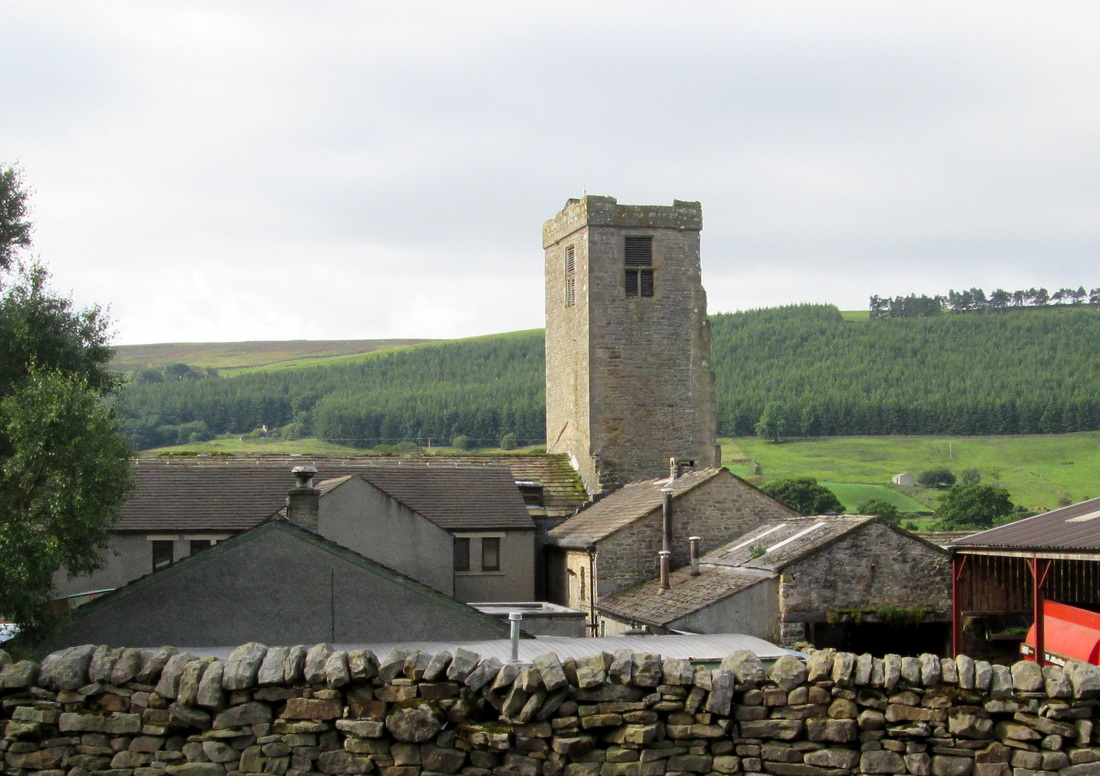
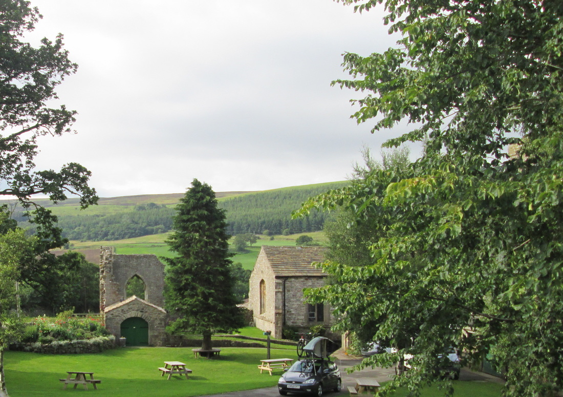
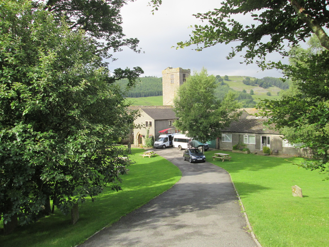
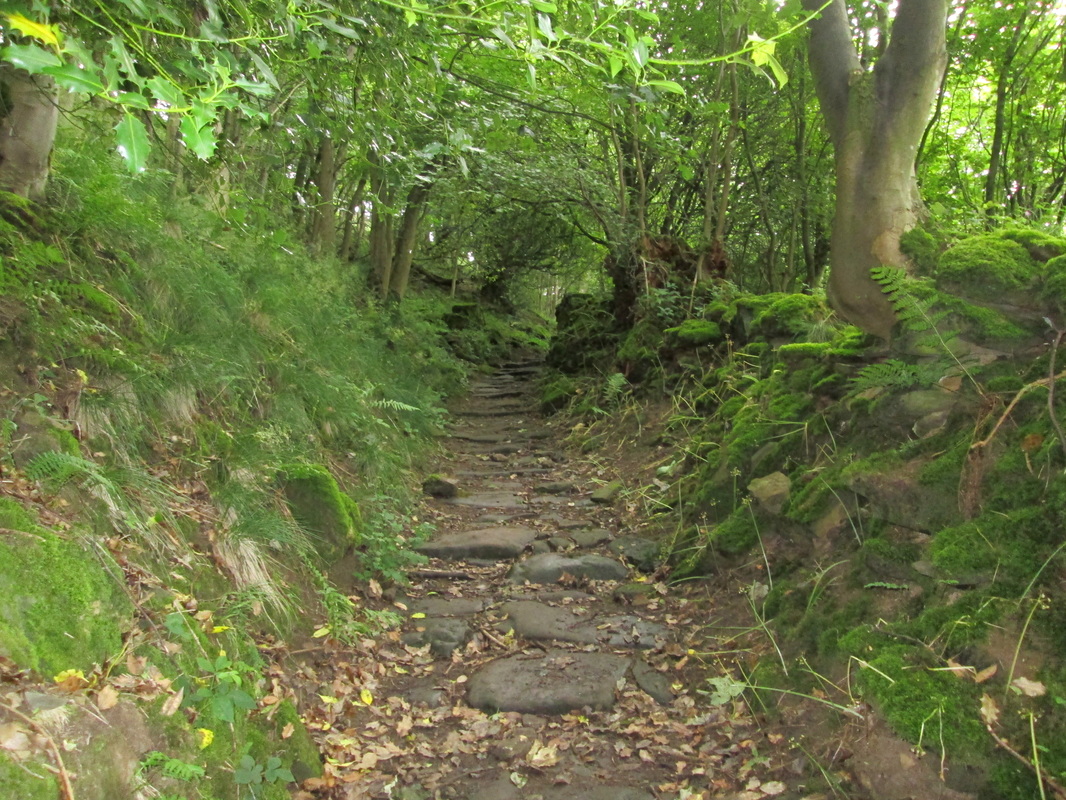
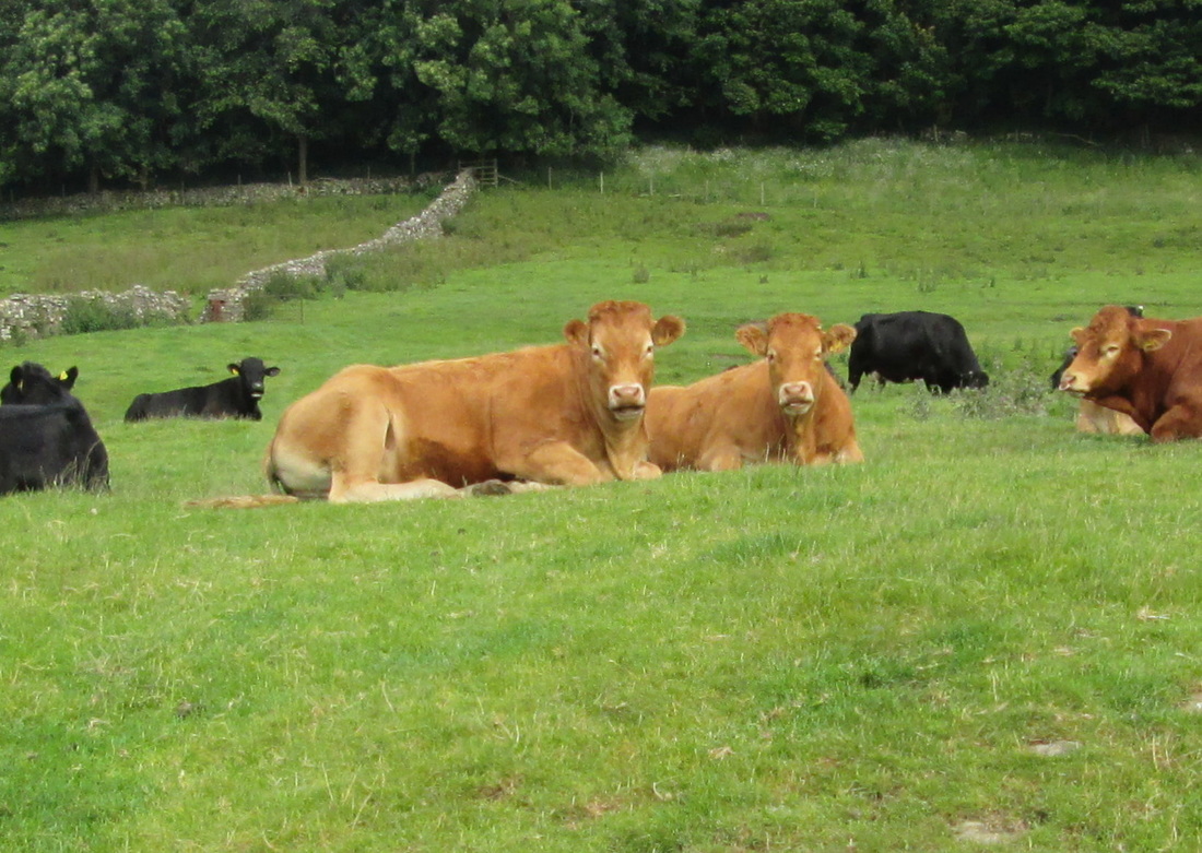
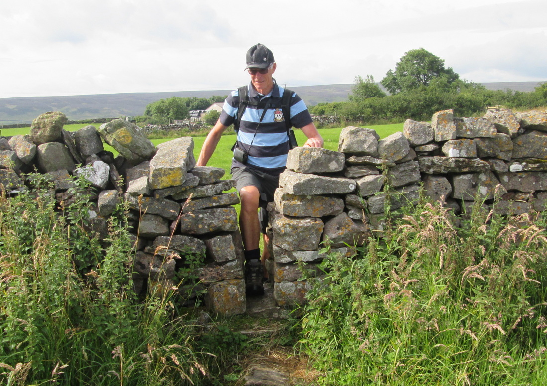
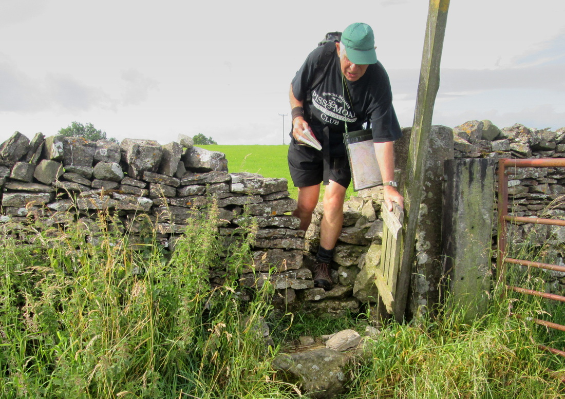
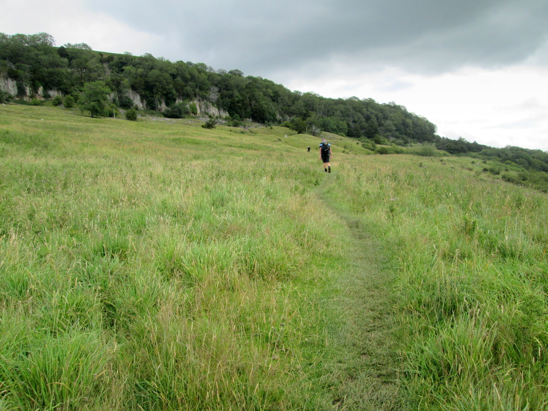
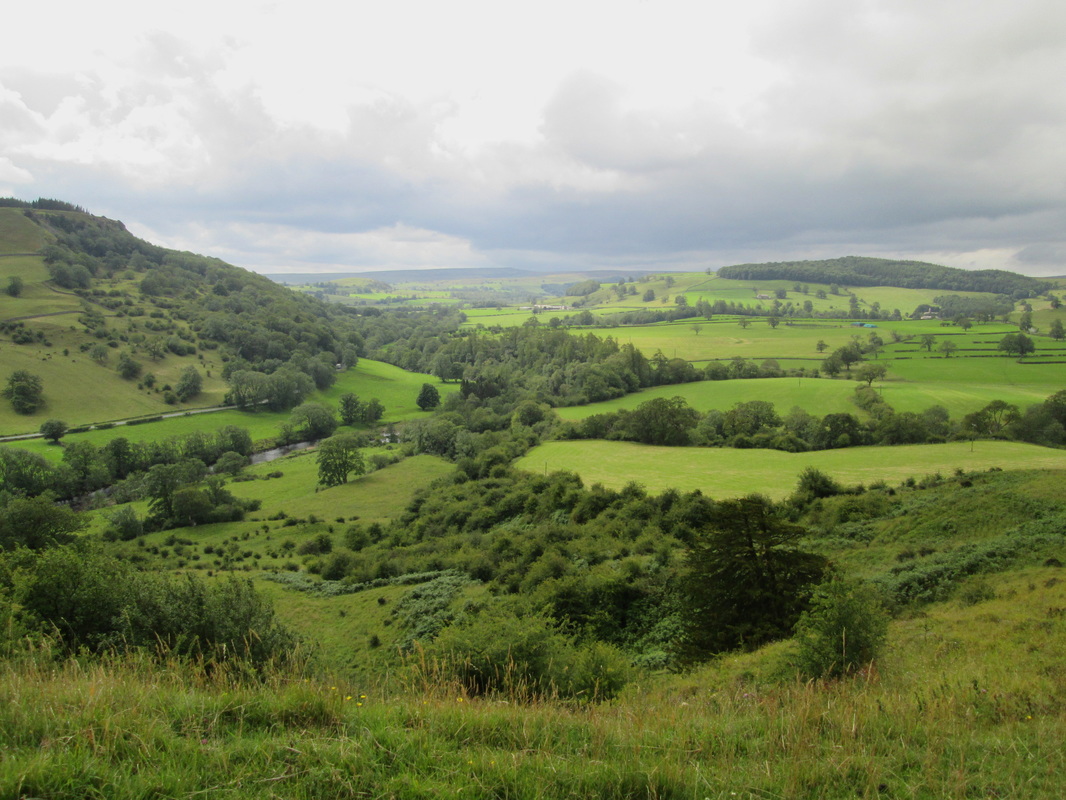
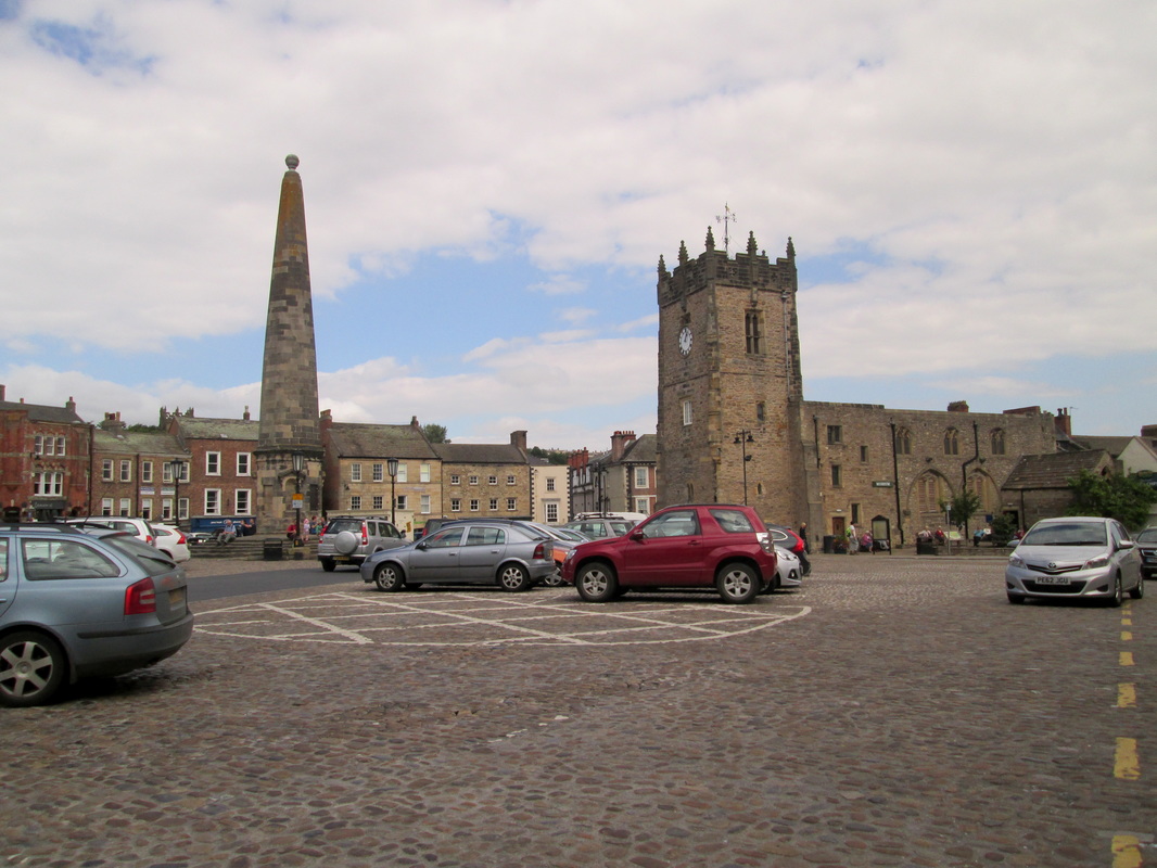
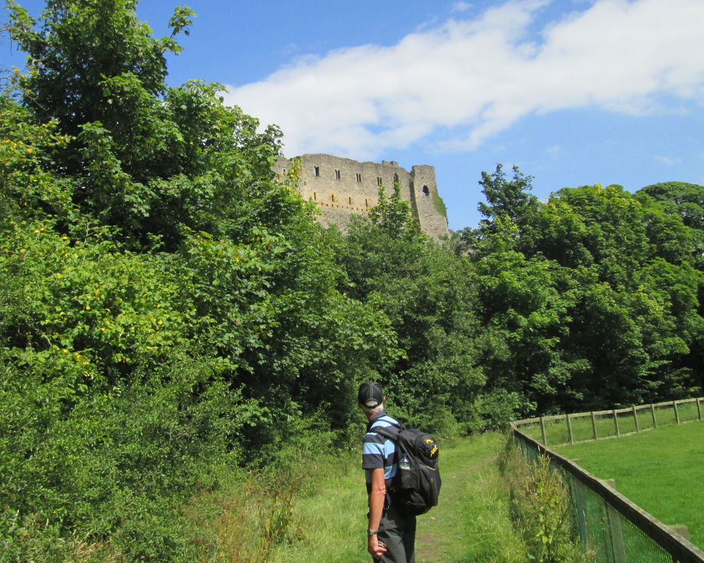
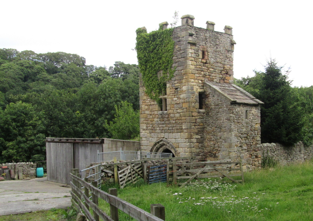
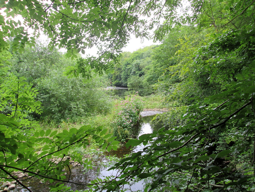
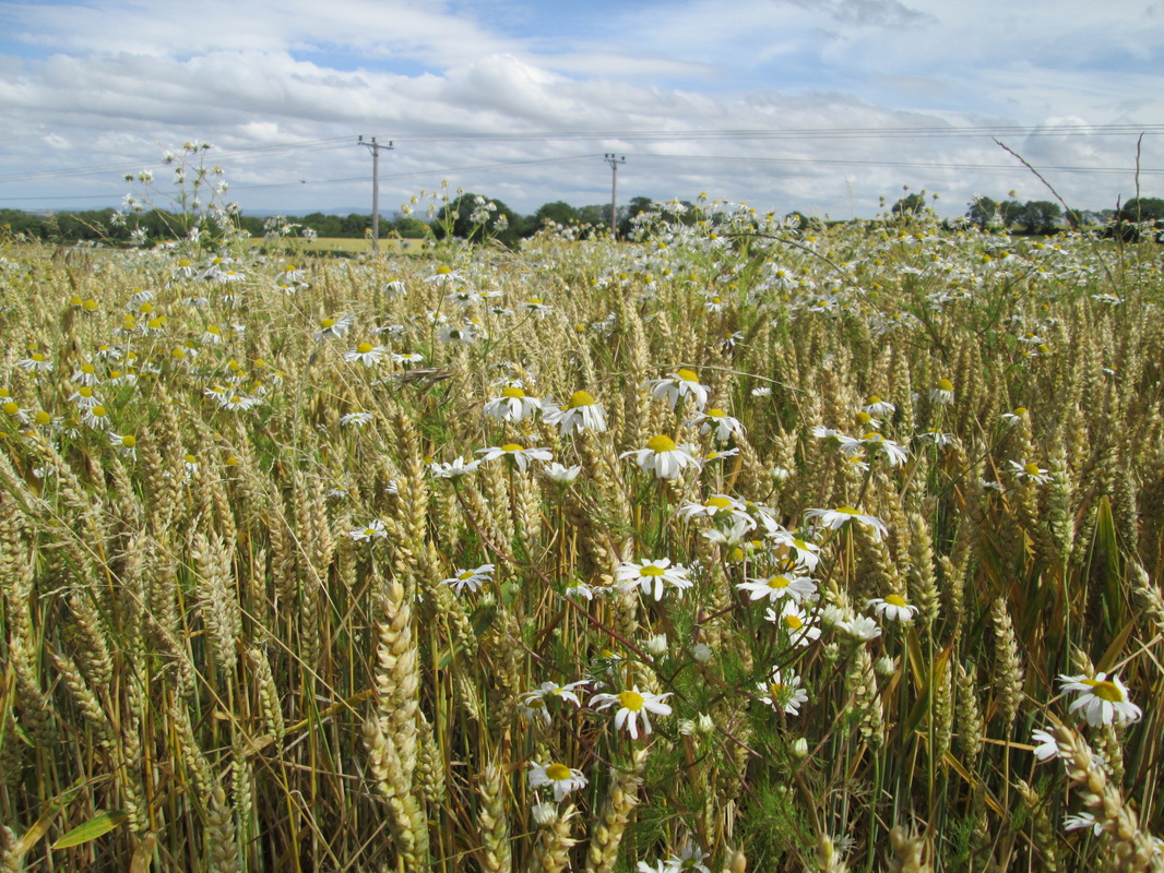
This was the only day of our walk that we didn’t need transport to the start of our days walking so we had the pleasure of Johns company for the first few miles before he returned to Reeth and his chores. After a short walk along the main road we passed through a gate to follow a footpath through a number of fields until we reached Grinton Bridge where after crossing the road we continued along the banks of the River Swale before joining a country lane which led us to Marrick Abbey Farm which was once the home of Benedictine nuns. The remains of the abbey buildings, including the bell tower are now incorporated in the farm buildings and are not as far as I am aware accessible to the public. Up to now we had enjoyed more or less level footpaths but now we were faced with about the only climb of the day, a mere 373 ft through Steps wood and on to Marrick, Something that we noticed was how narrow and awkward the stiles are in Swaledale, they are definitely not built for hulking great hikers with rucksacks on their backs, the farmers hereabouts must be a skinny lot. We were now back to walking over fields again until we had passed through Marske where we began to follow a rough track along the base of Applegarth and Whitecliff Scar’s, eventually arriving in Richmond.
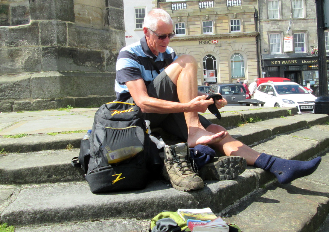
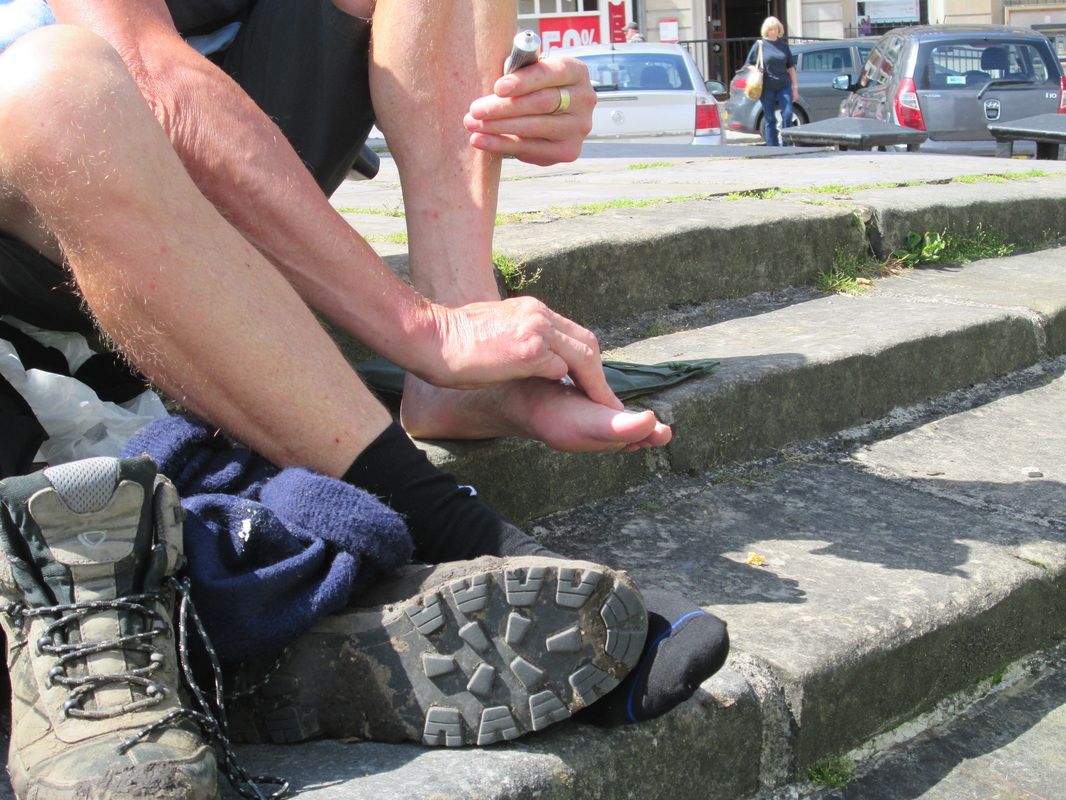
Mal took the opportunity to do a little shopping for something to help his sore feet and he also bought a pair of walking poles At the time I had a pair sitting in the garage at home doing nothing, I had borrowed them from a friend to try out but personally I found them to be more of a hindrance than a help and came to the conclusion that they were not for me so I did not bring them along. In Mal’s case though, once he found a rhythm it made life much easier for him.
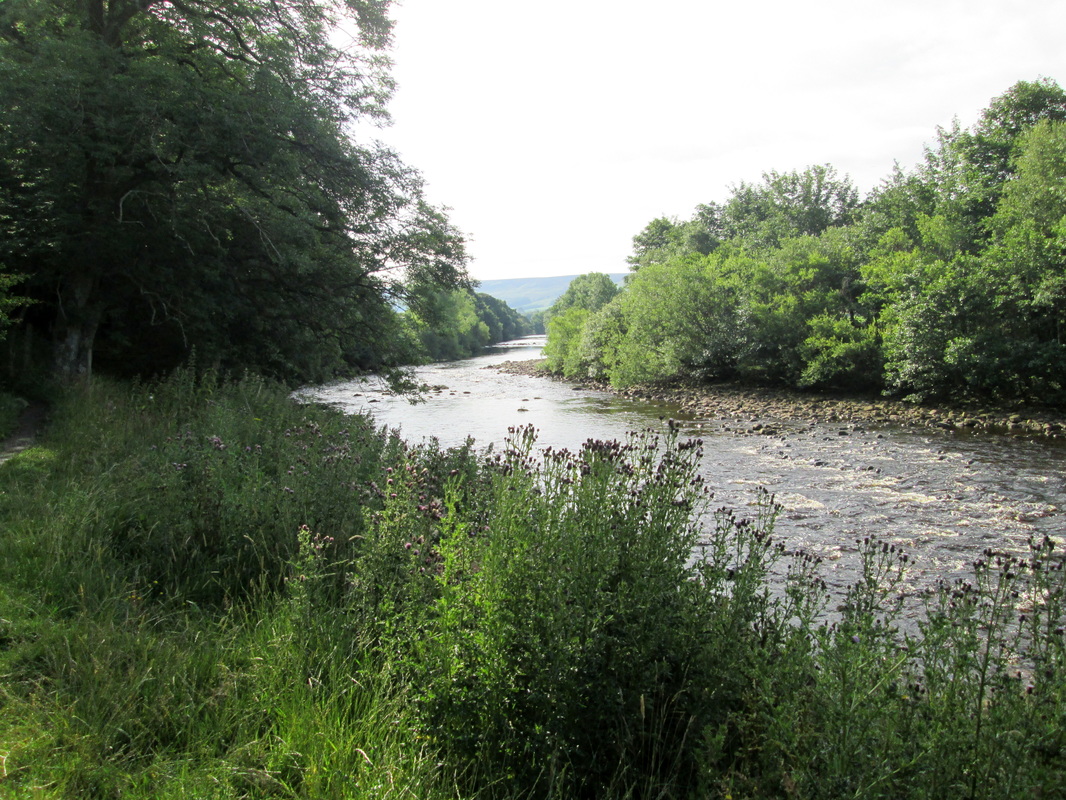
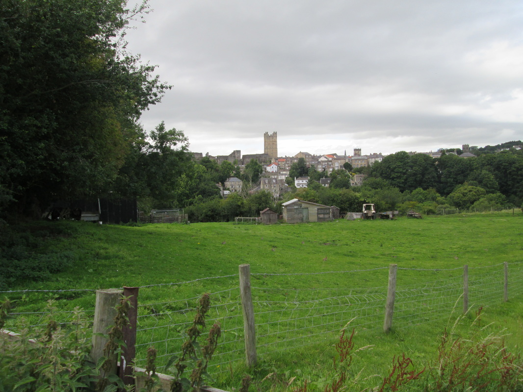
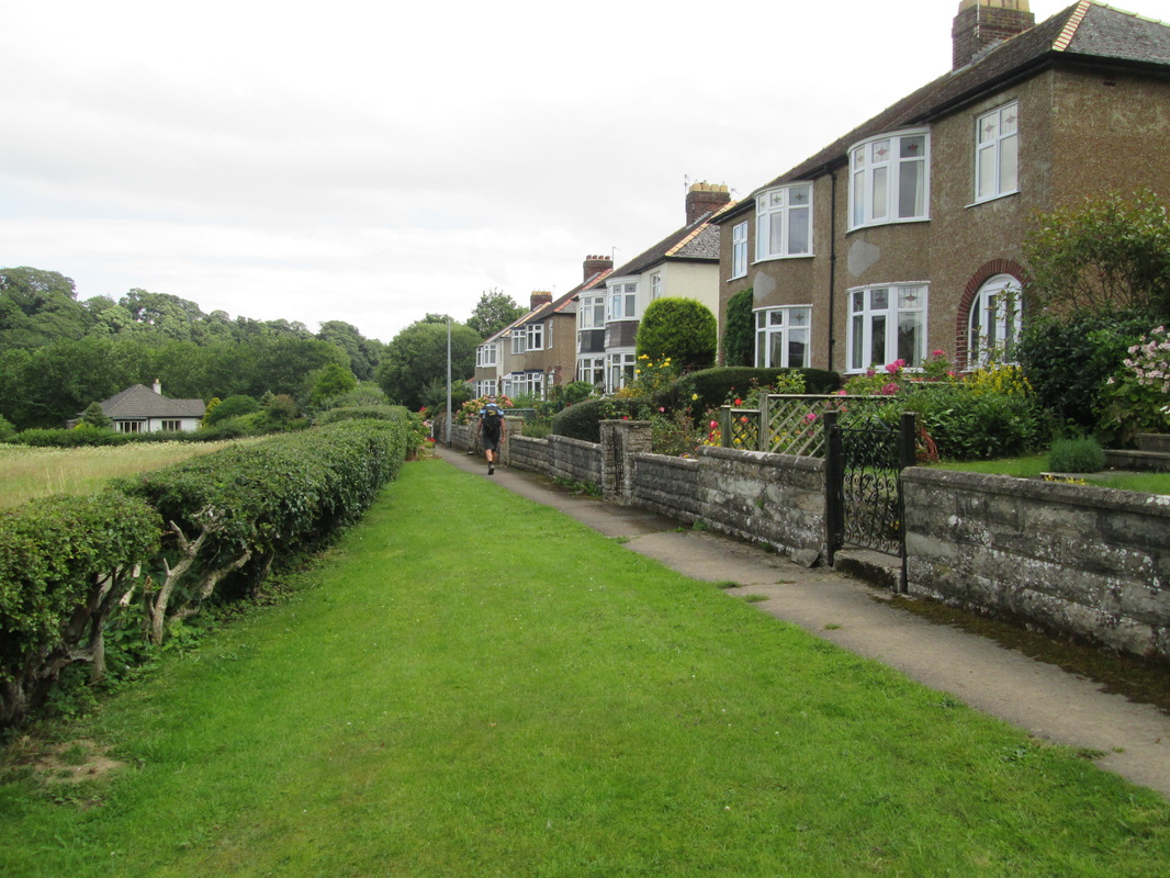
Instead of finishing at Richmond that day, we decided to carry on towards Catterick Bridge in order to reduce the length of the next days walk. Unfortunately we went a little astray, I think we followed what we thought was the correct path along the wrong side of a field boundary and joined a different footpath which had a diversion notice on it which naturally, we followed only to find ourselves in Hipswell. Once we had realised the error we made our way to Colburn to get ourselves back on the route and decided that we would call it a day.
